LEGISLATIVE HISTORY
Planning & Zoning Committee

ENACTED 01/19/1999
ORDINANCE NO. O98-1468
An ordinance to amend Title 17 of the Metropolitan Code of Laws, the Zoning Ordinance of The Metropolitan Government of Nashville and Davidson County, by changing from R15 and R8 Districts to RM4 District properties located at 185 and 186 Jones Lane, Old Hickory Boulevard (unnumbered), and South Street (unnumbered), on the eastern margin of the Cumberland River and the western terminus of South Fork Boulevard (39.06 acres), (Proposal No. 98Z-184G), all of which is more particularly described herein.
NOW, THEREFORE, BE IT ENACTED BY THE COUNCIL OF THE METROPOLITAN GOVERNMENT OF NASHVILLE AND DAVIDSON COUNTY:
SECTION 1. That Title 17 of the Code of Laws of The Metropolitan Government of Nashville and Davidson County, be and is hereby amended by making certain changes in the Official Zoning Map for Metropolitan Nashville and Davidson County, which is made a part of said Title 17 by reference, as follows:
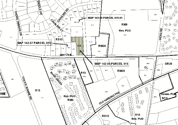
By changing from R15 and R8 Districts to RM4 District properties located at 185 and 186 Jones Lane, Old Hickory Boulevard (unnumbered), and South Street (unnumbered), on the eastern margin of the Cumberland River and the western terminus of South Fork Boulevard (39.06 acres), being more particularly described as being part of Property Parcel No. 236 (12.2 acres), part of Property Parcel No. 185 (13.4 acres), Property Parcel Nos. 199 and 200 as designated on Map 63, and Property Parcel No. 118 as designated on Map 64 of the Official Property Identification Maps of The Metropolitan Government of Nashville and Davidson County, all of which is more particularly described by lines, words and figures on the attached plan, which is attached to and made a part of this ordinance as though copied herein.
SECTION 2. BE IT FURTHER ENACTED, That the Metropolitan Clerk is hereby authorized and directed, upon the enactment and approval of this ordinance, to cause the change to be made on Sheet Nos. 63 and 64 of said Official Zoning Map for Metropolitan Nashville and Davidson County, as set out in Section 1 of this ordinance, and to make notation thereon of reference to the date of passage and approval of this amendatory ordinance.
SECTION 3. BE IT FURTHER ENACTED, That this ordinance take effect immediately after its passage and such change be published in a newspaper of general circulation, the welfare of The Metropolitan Government of Nashville and Davidson County requiring it.
Map & Parcel No./Owner:
Map 63, Part of Parcel 236, Part of Parcel 185, 199 & 200
Linkscorp Hermitage, LLC 61-118 William E. Jones et ux
Requested by: Barge, Waggoner, Sumner and Cannon, Inc.
Sponsored By: Mike Wooden
AMENDMENT NO. 1
TO
ORDINANCE NO. O98-1468
Mr. President:
I move to amend Ordinance No. O98-1468 by deleting the phrase "39.06 acres" as it appears in the bill’s caption, Section 1 and attached sketch and substituting in lieu thereof "36.65 acres"; by deleting the phrase "and Property Parcel No. 118 as designated on Map 64" as it appears in Section 1,and attached sketch; by deleting the phrase "William E. Jones et ux" as it appears in the attached sketch; and by deleting on the second page under "Owners of Record of the Subject Property as of November 12, 1998 are: William E. Jones et ux, Map 64, Parcel 118 (2.41 acres)."
Sponsored by: Mike Wooden
Amendment Adopted: January 19, 1999
LEGISLATIVE HISTORY |
|
|---|---|
| Introduced: | December 1, 1998 |
| Passed First Reading: | December 1, 1998 |
| Referred to: | Planning Commission - Approved 8-0
(11/12/98) Planning & Zoning Committee |
| Passed Second Reading: | January 5, 1999 |
| Amended: | January 19, 1999 |
| Passed Third Reading: | January 19, 1999 |
| Approved: | January 26, 1999 |
| By: | |